The Kenya Civil Aviation Authority (KCAA) has upgraded its Aeronautical Information Management (AIM) System at a cost of 198.9 million shillings to ensure the timely flow of Aeronautical Information necessary for the Safety, Regularity, and Efficiency of National and International Air Navigation.
The corporation has also invested 29.3 million shillings to improve the VHF radio coverage at Jomo Kenyatta International Airport.
It has also installed advanced software at Jomo Kenyatta International Airport’s (JKIA) Rescue Coordination Centre (RCC) for integrated Search and Rescue (SAR) Missions at a cost of 29.8 million shillings.
The software installed at the RCC will enable KCAA to conduct continuous distress monitoring and other preventive search and rescue procedures to achieve quick and coordinated missions when the need arises, thereby increasing the chances of saving lives.
KCAA Director General Captain Gilbert M. Kibe, said these investments were made despite the effects of the COVID – 19 pandemics on the aviation industry, to address the challenges in the sector including keeping pace with traffic growth and managing more aircraft in a finite airspace.
“As we celebrate International Civil Aviation Day, being aviators we must have an effective and a balanced approach to new aviation innovations, accelerating regulatory processes, while safeguarding traditional needs relating to Regulatory and Policy enforcement, Consumer Protection, together with fair, sustainable Economic and Social Development,” said Captain Kibe.
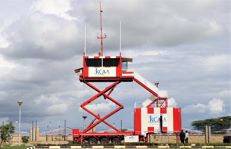
Other notable investments that KCAA has made this year, to improve Air Traffic Management (ATM) and safety in the aviation industry, including building a new 187.4 million shillings Air Traffic Control (ATC) Tower at Wilson Airport and establishing a Remote Data Recovery Site in Nairobi to ensure continuity of business processes in the event of interruptions at the KCAA headquarters.
To cater to the increased use of helicopters in Nairobi and its environs, the Authority developed Visual Flight Rule (VFR) Helicopter routes within Nairobi Control Zone and published them for use by pilots.

